Sea-effect or lake-effect snow refers to convective snowfall which arises when a very cold air mass moves over a relatively warm water surface. This type of snowfall often takes the form of bands that move from the sea to coastal areas. Depending on the geographical context, sea-effect snow may also be termed gulf-effect snow, bay-effect snow or ocean-effect snow. In this article, we examine the most important environmental and meteorological factors that influence the development and behavior of sea-effect snowfall.
Sea-effect snowfall is known for several characteristics: due to the bands moving over land, the snowfall can last very long, the snowfall can be intense, the snow might come suddenly, and local variations can be huge over short distances.
Key factors for formation of sea-effect or lake-effect snow
For sea-effect snow to form, several meteorological requirements are in place. Temperature, wind and the characteristics of the water surface all play a role.

The figure above shows a schematic overview of sea-effect snow formation and the factors that influence it. The figure is adopted from Taru Olsson’s PhD thesis, titled ‘Sea-Effect Snow In Finland’. I strongly recommend reading her PhD thesis if you want to learn more about Sea-Effect snowfall, specifically in the Baltic Sea region. You can find Taru Olsson’s PhD thesis here.
Temperature of the surface and upper atmosphere – Instability
Firstly, the temperature difference between the surface and the atmosphere at the 850 hPa pressure level (generally located between 1300 and 1500 meters above sea level) should be at least 13°C. This large vertical temperature difference causes the moist surface air to rise, since warm air is less dense than the colder air above. This ascent of warm air, a process known as convection, cools and becomes saturated, which leads to cloud formation. The larger the temperature difference between the surface and upper air, the larger the instability, the stronger the convection and the deeper the clouds can grow. If deep enough, precipitation will develop.
Wind direction, fetch and wind shear
On top of these thermodynamics, other atmospheric variables also play a role. For the formation of clouds and precipitation, the cold air’s passage over the water, known as ‘fetch’, should be sufficiently long. Generally, a longer fetch leads to more moisture in the atmosphere, which again leads to more intense precipitation. However, when the fetch extends hundreds of kilometres, it can warm the upper air through air mass mixing and latent heat release, thereby reducing instability and snow intensity. In ideal conditions for lake effect snow, the wind is oriented parallel to the waterbody’s length. Low levels of wind shear, meaning that the wind does not change much in terms of direction and strength with height, are also favourable. Strong wind shear, meaning the wind changing direction and strength with height, can disrupt the organisation of the snow bands.
Temperature of the air column
The temperature of the whole air column determines the precipitation mode. For snow to occur at ground level, temperatures throughout the column should be below freezing. Snow or sleet may still fall if the lower atmospheric layer is slightly above freezing. However, if this warmer layer is too thick, or surface temperatures are too high above freezing, precipitation will likely be rain.

Typical lake-effect snow snowbands over the Great Lakes. Image by NASA/Aqua-MODIS – https://worldview.earthdata.nasa.gov/
Sea-effect snow!
Once all the previously mentioned factors come together in the right way, sea effect snow can occur. As the wind blows towards land, these snow showers can sweep across coastal regions. However, as the snow bands move inland, they gradually weaken since the energy and moisture source – the water body – is no longer present. Consequently, the largest snow accumulations are typically confined to narrow coastal areas.
Where do lake-effect and sea-effect snow occur?
There are certain geographical areas that are known for lake-effect and sea-effect snow. The Great Lakes in North America are probably the most well-known regions for lake-effect snow. When extremely cold air masses from the Canadian Arctic move southward and spread southward over the Great Lakes, several decimetres of snow can fall in a time span of a few hours, up to a few days. In extreme cases, snow even piles up 1 or 2 meters high in a matter of days. Such accumulations last happened in the region in November 2022.
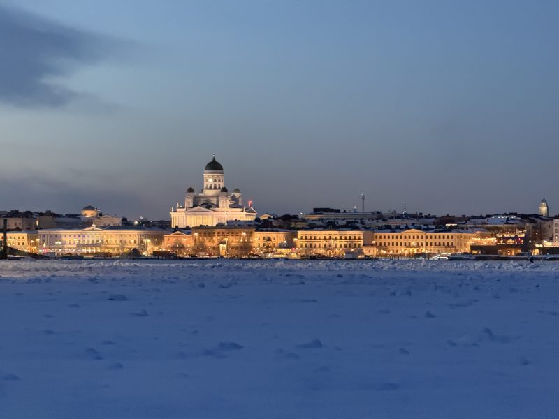
A place known for sea-effect snow is Japan, that can see similar amounts of accumulations as the Great Lake regions, when cold air masses from Siberia move over the sea of Japan. Sea-effect snow also occurs frequently in the Black Sea and the Baltic Sea. Sea-effect or Gulf-effect snow can occur in the Gulf of Finland as well, it is however rare that this gulf-effect snow reaches Helsinki, because the cold air then has to flow from a southeasterly direction, while cold air commonly comes from the northerly directions.

Above a screenshot from radar images from the Finnish Meteorological Institute. On December 13th, 2022, snow bands from the Gulf of Finland, moved over Helsinki from the south. Gulf-Effect snow!
Click here for a blog about sea-effect snowfall in Helsinki. Below you can find a video of Gulf-Effect snow in Helsinki:
Sea ice
Sea ice formation generally limits lake-effect or sea-effect snow. Ironically, lake- and sea-effect snow situations effectively cool the waterbody, and not rarely mark the onset of ice formation on the lake or sea. During lake-effect snow events, the waterbody rapidly loses heat due to strong latent and sensible heat fluxes. If cold air advection over the water persists, the waterbody often begins to freeze. When the water cools, snow showers typically decrease in intensity. Once the water body is completely frozen, the ice cover restricts the transfer of heat and moisture fluxes from water to the atmosphere. As a result, sea-effect snowfall becomes virtually impossible.